Inveterate dabbler in business, travel, gadgets & life

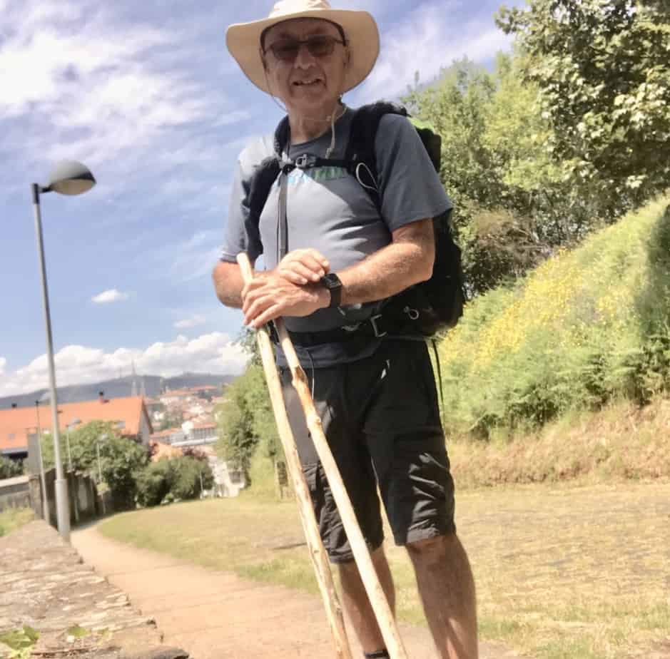
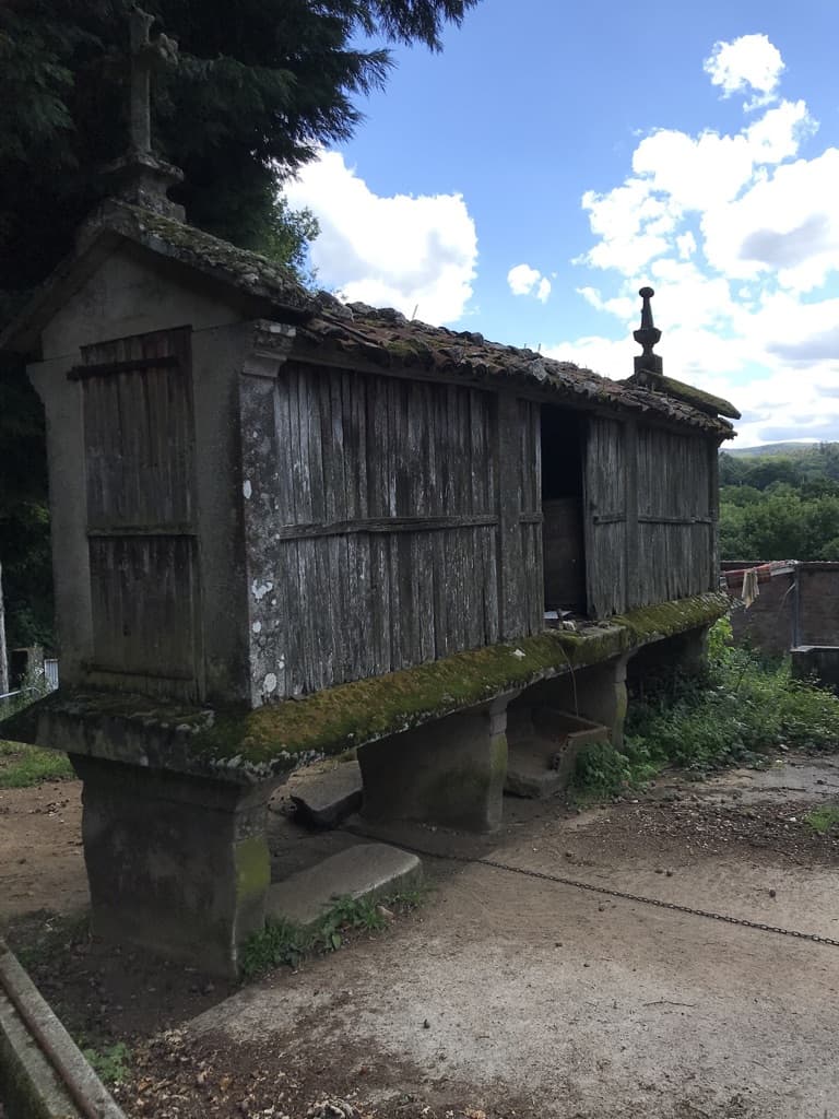
A decent walk for a 59 year old.

Whilst rummaging around my blog’s history, I discovered my walk from Lake Geneva to Nice across the Alps, which I did in my 59th year. At my current age of 76 it would be nice to think I could still do it but alas, looking at the spreadsheet of that walk, I don’t think so!

Especially since 5 months previous I had walked  431km along The Pennine Way!

GR5 Data from Memory Map
Date Place Ascent (m) Descent (m) Distance (km) Time  Av.Gradient
02/09/06 Saint Gingolph
03/09/06 La Chapelle 1929 1306 14.9 05:53 22%
04/09/06 De Chesery 1750 764 17.5 06:04 14%
05/09/06 Samoen 500 1700 19.8 11%
06/09/06 Les Gets
07/09/06 Moéde Anterne 1894 620 18.4 06:28 14%
08/09/06 Les Houches 1043 2020 14.7 04:23 21%
09/09/06 Chalet Nant Borrant 1447 962 19.3 05:52 12%
10/09/06 Chalet de la Balme 2193 1683 23.4 10:40 17%
11/09/06 Refuge de Rosuel 1369 1801 21.8 09:11 15%
12/09/06 Val D’Isére 1401 1149 21.3 08:04 12%
13/09/06 Lanslevillard 1361 1732 29.3 10:26 11%
14/09/06 Modane 1005 1409 28.5 09:09 8%
15/09/06 Refuge étroite 1558 830 16.2 06:53 15%
16/09/06 Montgenévre 1800 1741 27.3 10:48 13%
17/09/06 Chateau Queyras 2012 2462 33.6 13:30 13%
18/09/06 Ceillac 1097 821 12.5 05:26 15%
19/09/06 Fouillouze 1703 1474 21.9 09:13 15%
20/09/06 Bousieyas 2201 2211 30.9 12:54 14%
21/09/06 Auron 1652 1915 20.9 09:42 17%
22/09/06 Roure 2299 2813 32.4 14:21 16%
23/09/06 Dalmas-Valdeblore 1321 1105 13.8 06:32 18%
24/09/06 Utelle 1737 2228 23.4 10:48 17%
25/09/06 Nice 1640 2438 32.9 10:19 12%
34912 35184 494.7
Number of Everests 3.9


Overview of our Camino Invierno walk

Finally 12 days after returning home from my Camino Invierno walk I’ve found a method of displaying all the sections where we walked on a zoomable embedded map 🙂 and amazingly also clearly showing all the bits we missed either intentionally or by error 🙁

The solution I found was to use the -umaps website which I found from this handy table on the OSM web wiki pretty straightforward to use as well.

&

See full screen

Pretty impressive use of Open Street Map 🙂

The spreadsheet I created whilst away shows I walked about ⅔ of the route or about 90 miles in 7 walking days with over 10,000 feet of climbing, all very pleasant on very quiet tracks and roads so it makes a good alternative to the very busy Camino Francais, apart from the lack of accommodation on the route.

Use the spreadsheet to find all the relevant blog posts, Strava route details & my Flickr photos

Many thanks to Colin for the invite and organisational skills plus many thanks to German Geoff for staying with us even with his Achilles injury and supporting us with Colin’s car, certainly made it a lot easier!

Final day on the Camino Invierno

Geoff Jones in Santiago
The End

Since Colin was so close to his home and has obviously visited Santiago many times, I decided to walk the final stretch from Bandeira to Santiago de Compostella on my own.

I took up their kind offer of dropping me off 10km closer at Pont Ulla since the full distance is 32km, a bit much for an oldie with a full rucksack, especially with no breakfast.

At Pont Ulla I was immediately confronted with a 250metre climb up the next 3km 🙁 The route I downloaded seems to be for a cyclist since I lost all arrows and markers once in the wood. However, on the descent, they started reappearing where I met an American lady who has lived in Hannover for 40 years she recommended the “Wise Pilgrim” app and it did seem pretty good.

Spanish Pilgrim routes from wisewpilgrim.com
More Pilgrim routes than motorways

I met many more pilgrims in the next few miles who were completing The Sanabres route all were amazed that you could walk for 7 days and only meet 1 pilgrim 🙂

After stopping for a drink at The Bar Rosende (still no food though) I didn’t see another pilgrim until Santiago and yes I was following a legit route with markers!

An excellent walk on traffic free lanes although I was getting pretty exhausted by the time I arrived at The NestStyle Hotel for my final night before returning home.

The Strava shows 21.6 km walked and an impressive 713m (2,339 feet) climbed

the day’s pics are here:
Invierno to Santiago

Cobbling between Chantada and Bandeira on The Invierno

©Colin Modified shoe

Today was Colin’s chance to display his cobbling skills to me after his shoe has been causing him so much pain, very artful it was too, certainly unlike any of my bodged jobs. See the photo for full details, I don’t think he’s applied for a patent yet!

Apparently, it did the trick at zero cost enabling him to walk with much less pain 🙂

The walking distance between Chantada and Bandeira according to my route sheet is 55km which, obviously, at our pace is way too far.  So once again we called on the services of Geoff to take us to just the other side of Lalin giving us a very pleasant 22km walk to Bandeira.

Stork on chimney

Unfortunately, we were admiring the HOXE dairy plant so much we missed the footpath turning immediately after it 🙁 thus meaning we at to walk across the Rio Dezo bridge and thus ended up on the busy N-525 road. Mistake spotted we hurried onto a minor road to rejoin the path at its other end.

We then arrived in Silleda and started debating about having our usual late lunch, unfortunately, Geoff had already left for Banderia which meant no lunch for us us. Spanish places stop serving at 4 ish and don’t open again till 8 ish 🙁

The Hostel Conda Rey in Banderia is quite basic as is the town with its overpowering smell of pig muck 🙁 In the end for dinner we ended up driving back to Silleda which for me was the most disgusting so-called Vegi pizza ever 🙁 they replaced it with some very yellow tortilla.

We ended up walking 22km with 350metres of climbing.

The pictures of the day are here:
Camino Inveirdo to Barreida
Colin has written another excellent post on the day here https://colindavies.blogspot.com/2019/05/thoughts-from-galicia-spain-22519.html