Inveterate dabbler in business, travel, gadgets & life

Cambridge -Anglesey abbey circular walk

Today’s walk was a 17 or so mile circular tour from Cambridge along the tow path to Baits Bite lock and then across to Horningsea. We then ventured across Quy Fen to Anglesey Abbey to see the Himalayan Siver Birch trees resplendent with their jet washed bark 🙂 We returned alongside the lovely mill stream to Quy had a pint & cuppa at the Quy Mill Hotel before going under the A14 to return home via Teversham and Cherry Hinton.

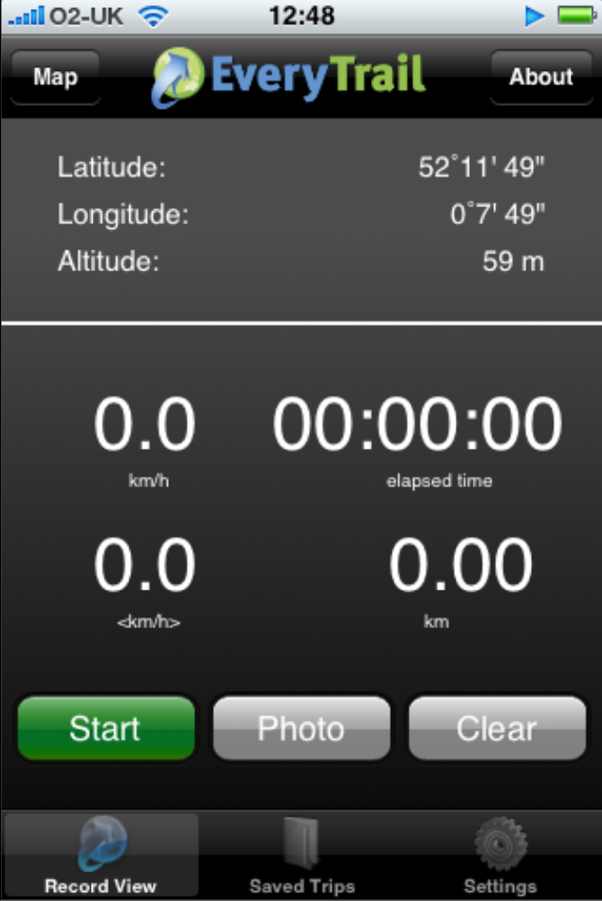
I was experimenting with the new iPhone GPS application called Trail, this worked very well even with the iPhone stuffed in the breast pocket of my jacket! Once completed you can email the gpx file or send it directly to Everytrail.

Missing track

Problems are battery life – my estimate is 4 hours – although apparently you can trick it into shutting the screen down by having the music playing 🙂

The second problem is that you can lose significant bits of trail by the software automatically connecting broken tracks together. See the purple trail I’ve added in the image.

Definitely worth having the capability as my Garmin Etrex batteries ran out during the walk! Trail also allows you to view your Everytrail tracks. Overall pretty neat and impressive that it works with the iPhone in my pocket. Thanks Euan for the tip

Here is the completed trail with photographs :-

Cambridge to Anglesey abbey circular walk

Widget powered by EveryTrail: GPS Geotagging

3G IPhone crack

Oh dear my 3G IPhone is starting to crack up:-

3G IPhone Crack

The crack is about 12mm (1/2″ long) starting from the 3.5mm headphone connector.

I have an appointment to see a Genius in the Cambridge Apple store in a short while….

Powered by ScribeFire.

Update: Apple replaced the phone FOC – Excellent service from the Cambridge UK store 🙂

iPhone external battery test run

Tomorrow is the big day for trialling my new external iPhone battery pack, that I recently purchased with the gift voucher that Euan gave me for loaning him my old iPhone 🙂

iPhone with external battery pack

I will be at Be2Camp 2008 during the day and then, hopefully, meeting up with Annie Mole at the Photography.Book.Now London Meet-up in the evening plus the rail journey both ways. An impossible challenge for the standard iPhone, especially with all the calls and emails going on about the office and house sales 🙂

The story so far is that the pack makes the iPhone increase in weight from 134gm to 246gm and in size from 115 X 60 X 10mm to 130 X 65 X 26mm.

The pack is rated at 2200mAH the internal battery appears to be 1400mAH

Worst problem so far is that the external battery total blocks the camera! So, to take pictures I will have to remove it from the pack. The pack doesn’t seem to charge the iPhone on its own, charging only takes place when the unit is plugged in.

Lets hope the phone doesn’t get into its toasting mode, where the internal battery is depleted in 30mins or so, with the pack in place it will probably burn an hole in my trousers!

Update:

The unit worked well, once I had discovered the small button next to the LED 🙂 I survived a whole 12 hours of intensive surfing, twittering, picture taking (alas no music as I had lost the earpods) in London and still had some power left once home. It can work as a iPhone mini base station charger so you can still use the iPhone as normal then just plug in to recharge or use it in the battery pack. Seemingly a good buy! so far

Powered by ScribeFire.

EverTrail on the iPhone

Another day another new iPhone application. Today it was EveryTrail.

In the past I used my Garmin Etrex as a GPS and a regular camera, by fiddling with LoadMyTracks, HoudahGeo and Flickr I managed to upload my walks to Everytrail. Today it all changed 🙂

Here is my test walk around Cambridge with the iPhone:-

cambridge station walk

Widget powered by EveryTrail: GPS Geotagging

EverTrail iPhone screen

On the iPhone the application looks like this, very intuitive to use, give it your login name ad password then just walk and take pictures. It isn’t using the cell networks or WiFi so these can be switched off. I didn’t and the iPhone battery was dead in about 2 hours 🙁

Battery life is a real issue with all these new applications, it means its a playphone rather than a real tool for saying doing day long hikes.

Other than that its a great little application – the log was uploaded over WiFi in a few minutes at home.

It could be improved by having the screen shut off and some positive indication that it is locked to the satellites, maybe buzz if it loses the GPS signal. A screen showing satellite positions and strengths would be cool too. I also noticed that it lost the Altitude data when transferring to Everytrail – not so bad in Cambridge but annoying on a mountain walk.

Apologies for poor image quality – obviously a sticky finger left some traces on the camera lens – a snag when you have to hold the phone for so long!

A good free application that is really only limited by the poor iPhone batteries and satellite receptio.

Powered by ScribeFire.