Inveterate dabbler in business, travel, gadgets & life

Winter stroll

After Em’s 18th birthday festivities we managed a late start for our first Cambridge walk of 2008 this morning in glorious sunshine.

We set off (with no provisions rucksacs etc) along Grantchester meadows snapped a couple of fine pictures of the church, although the clock is working now 🙁 The Rupert Brook pub sign however, shows the clock stuck at quarter to three, We then headed across the fields to Haslingfield where we watered at The Little Rose, which reminded us both of a working mans club! With an excellent 20p in the slot meter made by Heatvend, so that the smokers can keep their heads warm in the shed outside!

Then along the bridleway to Hauxton to see the Old mill and the demolition of the old pesticide factory which no doubt will soon contain executive homes overlooking the river. Past Hauxton church and into the Shelfords we then came back into town along the rather fine new footpath/cycleway from Great Shelford to Addenbrookes (although be careful of speeding cyclists) The footpath is interesting as its ends are marked with stainless steel spirals representing the double helix whilst the path itself has one mile of stripes to represent the structure of the human gene BRCA

Total distance about 11miles. The walk is suitable for pushchairs etc and has only a few small sections which are muddy. Lots of pubs on the way 🙂

A new idea of showing todays piccies is with the embedded Picasa player:-

Free those maps

Steve Coast presentation
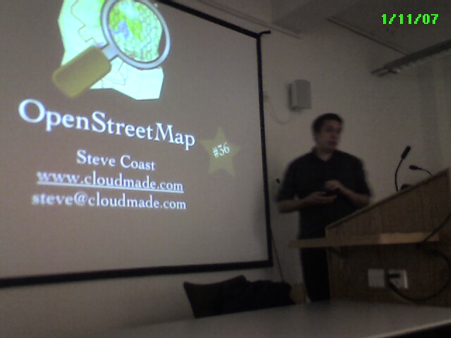
Last night I was up in London to listen to Steve Coast’s 36th talk on the Open street Map project he created (slide show is on slideshare). This is the Wikipedia of the map world. Currently 15,000 people around the world are using their GPS systems to upload tracks and create maps.

The aim of OSM is to have maps, down to street level, that are free of copyright, Open so you can create mashups and Current so that the data is up todate for ALL of the world.

I first met Steve at Reboot8 in Copenhagen, where we had a few beers prior to the infamous boat trip 🙂 but for whatever reason I didn’t pursue the project.

However, recently I came across this great article by Dair where he found “examining the road network shows 89 “errors” in Google Maps:” in just Hayward Heath. So I was inspired to join up. David Earl

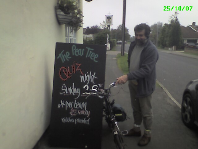
I did my first geomapping cycle ride (35miles) with David Earl last Thursday. David has mapped the whole of Cambridge on his own and his now tackling the surrounding area. I have still to get to grips with JOSM (the editor that converts your tracks to map elements that can be rendered so your data looks like a real map) although last night I heard about Potlatch which is a much simpler solution that is available when you upload the gpx files to the OSM website.

Last Sunday on my walk with Sally and Caroline I collected the street data for Perry and Grafham and the walk we did. I then used Mac Simple GPS to upload the data from the Garmin GPS upto my iMac and create a gpx file. This gpx is then uploaded to OSM as a trace . The street names etc can then be entered from my notes using JOSM.
Hours of fun to be had and another example of Coase’s Penquin at work

60 year old walks across the Alps on the GR5 trail

More interesting statistics from my GR5 walk across The Alps last year:-

GR5 Data from Memory Map
Date Place Ascent (m) Descent (m) Distance (km) Time Av.Gradient
02/09/06 Saint Gingolph
03/09/06 La Chapelle 1929 1306 14.9 05:53 22%
04/09/06 De Chesery 1750 764 17.5 06:04 14%
05/09/06 Samoen 500 1700 19.8 11%
06/09/06 Les Gets
07/09/06 Moéde Anterne 1894 620 18.4 06:28 14%
08/09/06 Les Houches 1043 2020 14.7 04:23 21%
09/09/06 Chalet Nant Borrant 1447 962 19.3 05:52 12%
10/09/06 Chalet de la Balme 2193 1683 23.4 10:40 17%
11/09/06 Refuge de Rosuel 1369 1801 21.8 09:11 15%
12/09/06 Val D’Isére 1401 1149 21.3 08:04 12%
13/09/06 Lanslevillard 1361 1732 29.3 10:26 11%
14/09/06 Modane 1005 1409 28.5 09:09 8%
15/09/06 Refuge étroite 1558 830 16.2 06:53 15%
16/09/06 Montgenévre 1800 1741 27.3 10:48 13%
17/09/06 Chateau Queyras 2012 2462 33.6 13:30 13%
18/09/06 Ceillac 1097 821 12.5 05:26 15%
19/09/06 Fouillouze 1703 1474 21.9 09:13 15%
20/09/06 Bousieyas 2201 2211 30.9 12:54 14%
21/09/06 Auron 1652 1915 20.9 09:42 17%
22/09/06 Roure 2299 2813 32.4 14:21 16%
23/09/06 Dalmas-Valdeblore 1321 1105 13.8 06:32 18%
24/09/06 Utelle 1737 2228 23.4 10:48 17%
25/09/06 Nice 1640 2438 32.9 10:19 12%
34912 35184 494.7
Number of Everests 3.9

As you can see the walk nearly equals climbing 4 Everests from sea level in 22 walking days. Hoping to make a youtube video of a 3D fly through of the walk….