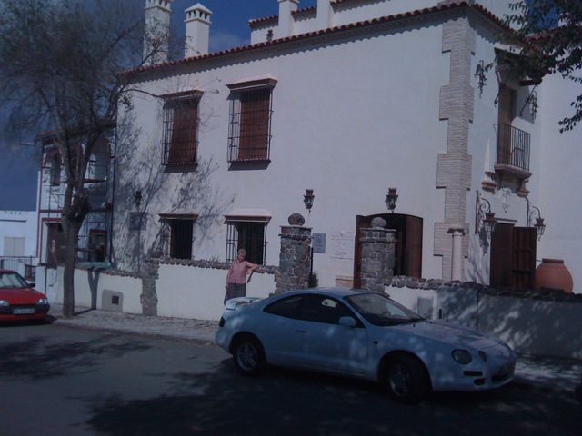
Today was a short 13km hop for us from Guillena. Even that was tiring after an awful nights sleep at Hostal Bar Frances due to some wretched pump switching on and off all night plus a lack of air due it being an internal room.
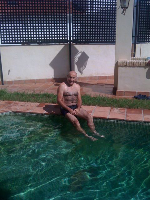
Here in Castilblanco de los Arroyos our luck was in as we happened upon the brand new Hospederia de la Plata (955 73 53 49 http://www.hospederiadelaplata.es ) gorgeous room with terrace and wet room shower plus an outdoor pool 🙂 ours for 20 euro each!
Here I am in Seville waiting with a delicious espresso for the Amigos office on Calle San Jacinto 25 to open so we can collect our credenciales ( sounds very exotic like travelling in Victorian times).
We had an excellent evening in Seville, how great it is to be able to sit outside without hordes of drunken youths and semi naked women bawling at you! Would love to live here a while.
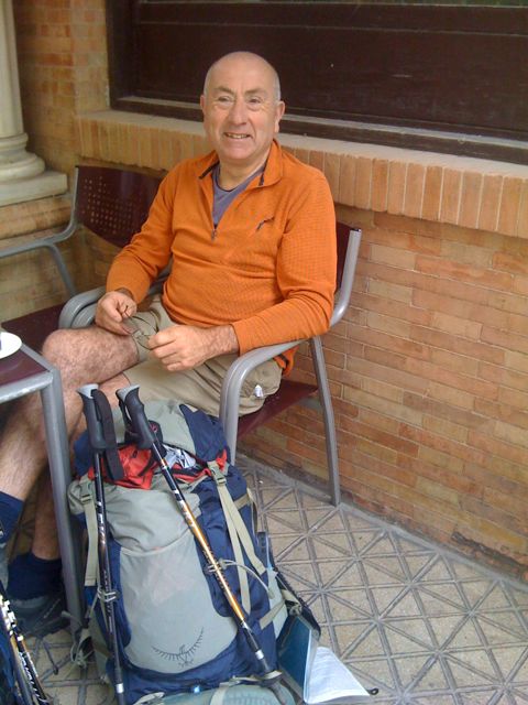
Today sally and I start on the pilgrimage Via de la Plata from Seville to Santiago about 1000km and with 16km of vertical height gain ( and 16km descent).
Sally only gets the first week due to her work & domestic commitments.
I was hoping for 5 weeks so I could meet up with Em & Mark who are doing the camino Frances. However, due to the imminent sale of my old offices I may have to cut short to return home for the sale completion, and rent a wheelbarrow to stuff my mattress with all that loot 🙂
Posted from the iphone at Stansted airport.
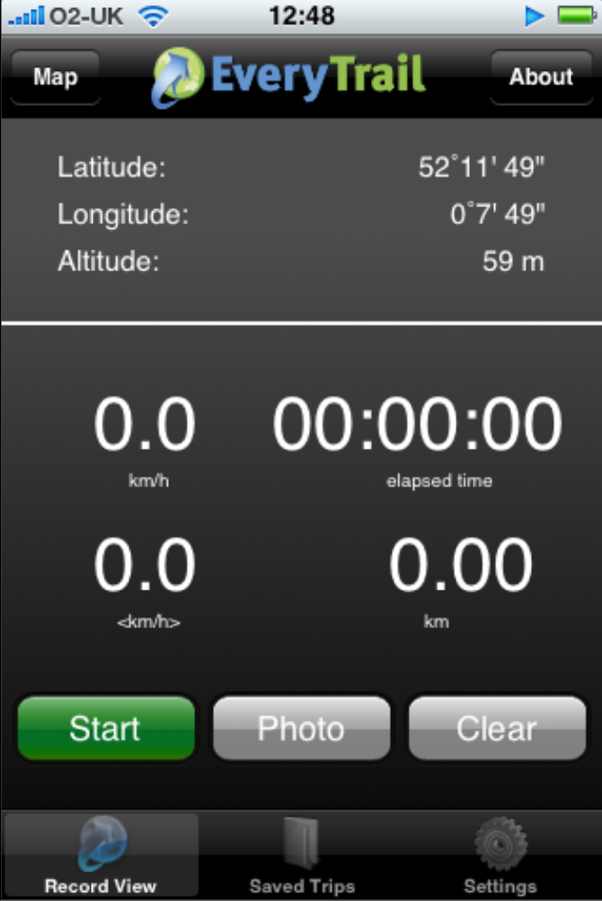
Another day another new iPhone application. Today it was EveryTrail.
In the past I used my Garmin Etrex as a GPS and a regular camera, by fiddling with LoadMyTracks, HoudahGeo and Flickr I managed to upload my walks to Everytrail. Today it all changed 🙂
Here is my test walk around Cambridge with the iPhone:-
On the iPhone the application looks like this, very intuitive to use, give it your login name ad password then just walk and take pictures. It isn’t using the cell networks or WiFi so these can be switched off. I didn’t and the iPhone battery was dead in about 2 hours 🙁
Battery life is a real issue with all these new applications, it means its a playphone rather than a real tool for saying doing day long hikes.
Other than that its a great little application – the log was uploaded over WiFi in a few minutes at home.
It could be improved by having the screen shut off and some positive indication that it is locked to the satellites, maybe buzz if it loses the GPS signal. A screen showing satellite positions and strengths would be cool too. I also noticed that it lost the Altitude data when transferring to Everytrail – not so bad in Cambridge but annoying on a mountain walk.
Apologies for poor image quality – obviously a sticky finger left some traces on the camera lens – a snag when you have to hold the phone for so long!
A good free application that is really only limited by the poor iPhone batteries and satellite receptio.
Powered by ScribeFire.
Loading Comments...
We use cookies to ensure that we give you the best experience on our website. If you continue to use this site we will assume that you are happy with it.