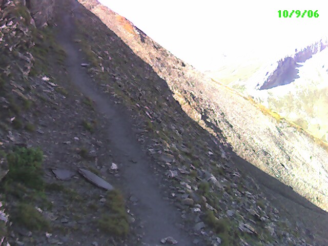
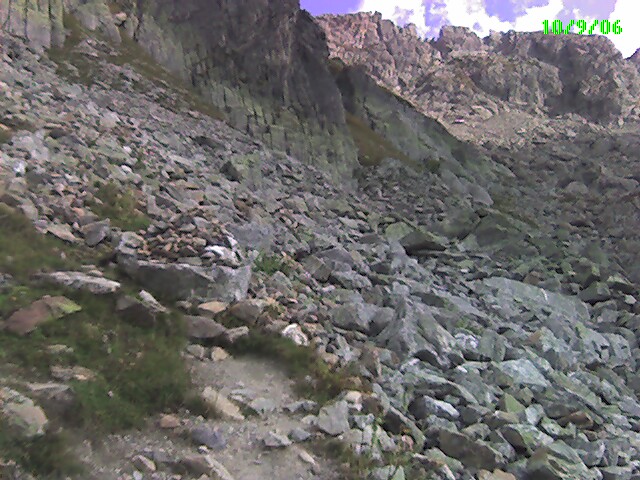
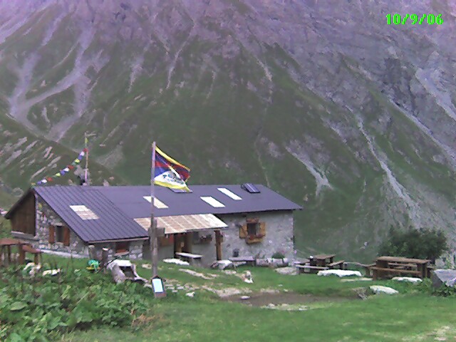
60 year old walks across the Alps on the GR5 trail
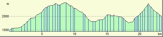
More interesting statistics from my GR5 walk across The Alps last year:-
| GR5 | Data from Memory Map | |||||
| Date | Place | Ascent (m) | Descent (m) | Distance (km) | Time | Av.Gradient |
| 02/09/06 | Saint Gingolph | |||||
| 03/09/06 | La Chapelle | 1929 | 1306 | 14.9 | 05:53 | 22% |
| 04/09/06 | De Chesery | 1750 | 764 | 17.5 | 06:04 | 14% |
| 05/09/06 | Samoen | 500 | 1700 | 19.8 | 11% | |
| 06/09/06 | Les Gets | |||||
| 07/09/06 | Moéde Anterne | 1894 | 620 | 18.4 | 06:28 | 14% |
| 08/09/06 | Les Houches | 1043 | 2020 | 14.7 | 04:23 | 21% |
| 09/09/06 | Chalet Nant Borrant | 1447 | 962 | 19.3 | 05:52 | 12% |
| 10/09/06 | Chalet de la Balme | 2193 | 1683 | 23.4 | 10:40 | 17% |
| 11/09/06 | Refuge de Rosuel | 1369 | 1801 | 21.8 | 09:11 | 15% |
| 12/09/06 | Val D’Isére | 1401 | 1149 | 21.3 | 08:04 | 12% |
| 13/09/06 | Lanslevillard | 1361 | 1732 | 29.3 | 10:26 | 11% |
| 14/09/06 | Modane | 1005 | 1409 | 28.5 | 09:09 | 8% |
| 15/09/06 | Refuge étroite | 1558 | 830 | 16.2 | 06:53 | 15% |
| 16/09/06 | Montgenévre | 1800 | 1741 | 27.3 | 10:48 | 13% |
| 17/09/06 | Chateau Queyras | 2012 | 2462 | 33.6 | 13:30 | 13% |
| 18/09/06 | Ceillac | 1097 | 821 | 12.5 | 05:26 | 15% |
| 19/09/06 | Fouillouze | 1703 | 1474 | 21.9 | 09:13 | 15% |
| 20/09/06 | Bousieyas | 2201 | 2211 | 30.9 | 12:54 | 14% |
| 21/09/06 | Auron | 1652 | 1915 | 20.9 | 09:42 | 17% |
| 22/09/06 | Roure | 2299 | 2813 | 32.4 | 14:21 | 16% |
| 23/09/06 | Dalmas-Valdeblore | 1321 | 1105 | 13.8 | 06:32 | 18% |
| 24/09/06 | Utelle | 1737 | 2228 | 23.4 | 10:48 | 17% |
| 25/09/06 | Nice | 1640 | 2438 | 32.9 | 10:19 | 12% |
| 34912 | 35184 | 494.7 | ||||
| Number of Everests | 3.9 | |||||
As you can see the walk nearly equals climbing 4 Everests from sea level in 22 walking days. Hoping to make a youtube video of a 3D fly through of the walk….